Our platform powers real-time, calibrated risk decisions
for governments, financial institutions,
and enterprises across the Global South.
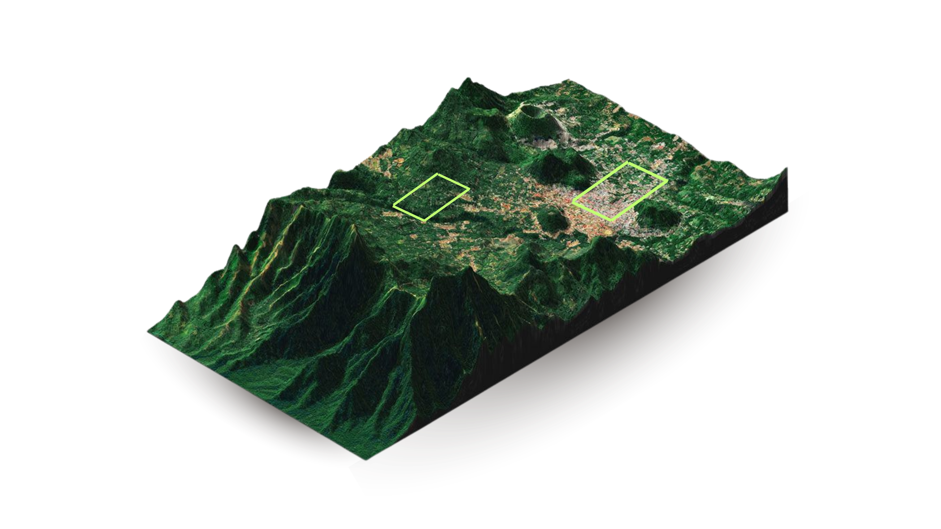
The Aixa intelligence layer bridges the data gap between orbital observation and field-level reality — turning remotely-sensed indices into defensible, high-resolution risk signals.
IoT sensor network and agronomic observation protocol generating validated microclimate and crop-stress data at plot scale.
Proprietary calibration engine that corrects satellite-derived indices against ground observations to reduce basis risk to insurable levels.
Structured data feed and programme dashboard integrating directly into insurer pricing engines, DFI risk models, and government monitoring systems.
Aixa ground-truth layer applied to a major insurer's smallholder drought programme in Southern Africa. Six-season backtest confirmed a 25-point accuracy gain, reducing basis risk to below actuarial acceptance threshold and enabling programme renewal.
Aixa anchored the technical data layer in a consortium bid to a national government for a parametric reinsurance facility, providing the ground-truth evidence base required under the programme's data adequacy standard.
Selected as the ground-truth intelligence provider for an agricultural risk programme spanning three East African markets, structured to meet the evidence standards required by a multilateral development finance institution.
Every metric Aixa delivers is independently traceable to a physical observation, not just an orbital estimate. The audit trail is built for the standard of evidence that actuaries, DFI investment committees, and government procurement panels require.
Insurers, DFIs, and ministries operating in climate-exposed agricultural markets across Sub-Saharan Africa and Latin America — where the gap between satellite perception and field reality determines whether coverage is viable at all.
Start with a discovery call. We'll map your current data gap, model the basis risk reduction achievable in your target market, and outline a deployment path.
Book a Demo